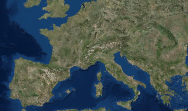
ESRI World Imagery
ESRI World Imagery provides one meter or better satellite and aerial imagery in many parts of the world and lower resolution satellite imagery worldwide. The map includes 15m TerraColor imagery at small and mid-scales (591M down to 72k) and 2.5m SPOT Imagery (288k to 72k) for the world, and USGS 15m Landsat imagery for Antarctica. The map features 0.3m resolution imagery in the continental United States and 0.6m resolution imagery in parts of Western Europe from Digital Globe. In other parts of the world, 1 meter resolution imagery is available from GeoEye IKONOS, Getmapping, AeroGRID, IGN Spain, and IGP Portugal. Additionally, imagery at different resolutions has been contributed by the GIS User Community.
It is your responsibility to abide by ESRI’s Terms of Use and to purchase an ArcGIS Online subscription when using the data.


